 CLOSE SIDEBAR
IT 60 - Vehicle Type Recognition Using Machine Learning
IT Projects
Roads serve a variety of users, including passenger cars, motorcycles, bicycles, trucks, buses, and even farm machinery. Accurate statistics on their usage are crucial. Understanding the volume and types of vehicles using roads and highways allows the policymakers to plan and improve road infrastructure. This includes determining the need for new roads, expanding existing ones, or improving road safety features. The policymakers can implement strategies to reduce congestion and improve commute times such as adjusting traffic light timings, implementing carpooling lanes, or enhancing public transport options. Knowing the traffic patterns also helps in emergency planning, ensuring quick and efficient responses to accidents, natural disasters, or other emergencies on roads and highways.
Traditionally, the road usages statistics are gathered manually, and the vehicle type classifications are also visually judged by the data collectors. However, this approach has limitations in terms of data availability, accuracy, and reliability. Implementing a machine learning system for vehicle type recognition can substantially address these shortcomings.
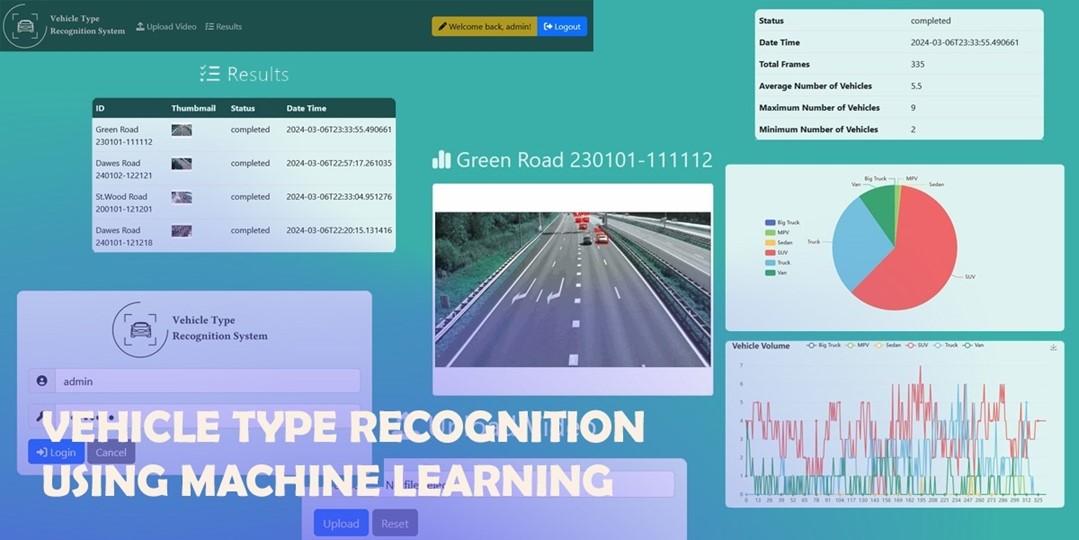
The objective of the project is to create a machine learning system capable of efficiently and precisely identifying and categorizing vehicle types from images. The core of the system is an AI model using Convolutional Neural Networks (CNNs) algorithm which leverages a diverse dataset of vehicle images for training.
The scope of the project includes the followings:
- Create a machine-learning system capable of identifying and categorizing vehicle types from images.
- Develop a comprehensive dataset that includes a diverse range of vehicle images, each labeled to identify specific vehicle types, such as trucks and buses. This dataset will serve as the foundation for our analysis and model training.
- Craft and execute a robust data processing pipeline. This pipeline will not only preprocess the image data but also incorporate advanced features for accurately detecting and identifying different vehicle types within the images.
- Engage in the iterative process of training, testing, and refining a sophisticated classifier dedicated to vehicle type recognition. Upon achieving optimal accuracy and reliability, this classifier will be seamlessly integrated into a backend system, enabling dynamic interaction with the user interface.
- Design an intuitive and user-friendly interface that not only facilitates the classification process but also provides users with valuable statistics and insights through the visual representation of the classification outcomes.
The result is the system can provide reliable statistics to policymakers, institutions, and private sectors regarding the policy on traffic management. Besides, the system can provide real time data continuously to external intelligent transportation systems for supporting their operations that give instant responses dynamically according to traffic conditions.
In the future, the scope of the system can further extend beyond mere identification and categorization of vehicle types. It aims to reform how traffic data is collected, analyzed, and utilized for urban planning and safety measures. To achieve this, the project will explore advancements in machine learning and computer vision, particularly focusing on enhancing the accuracy and efficiency of the model. This involves not only refining the algorithms but also ensuring the system’s adaptability to different environment conditions, angles, and speeds of vehicles for improving the real-world applicability.
Updated
2 years ago
Powered by Acadiate
© 2011-2026, Acadiate Inc. or its affiliates · Privacy